Upper Xekong
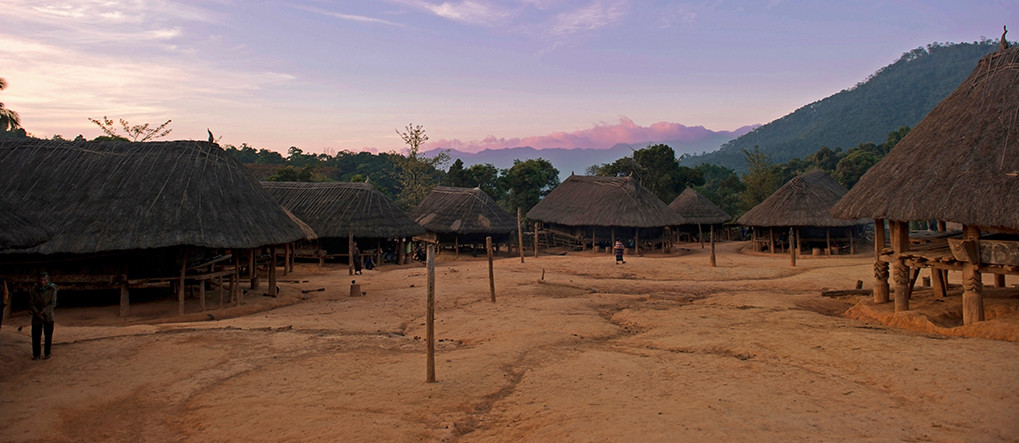
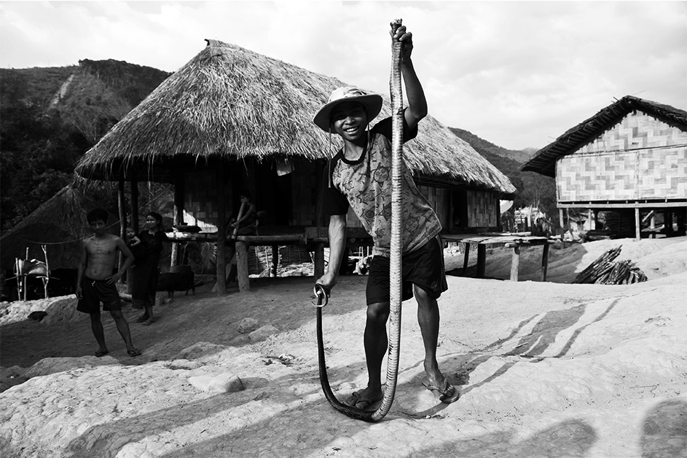
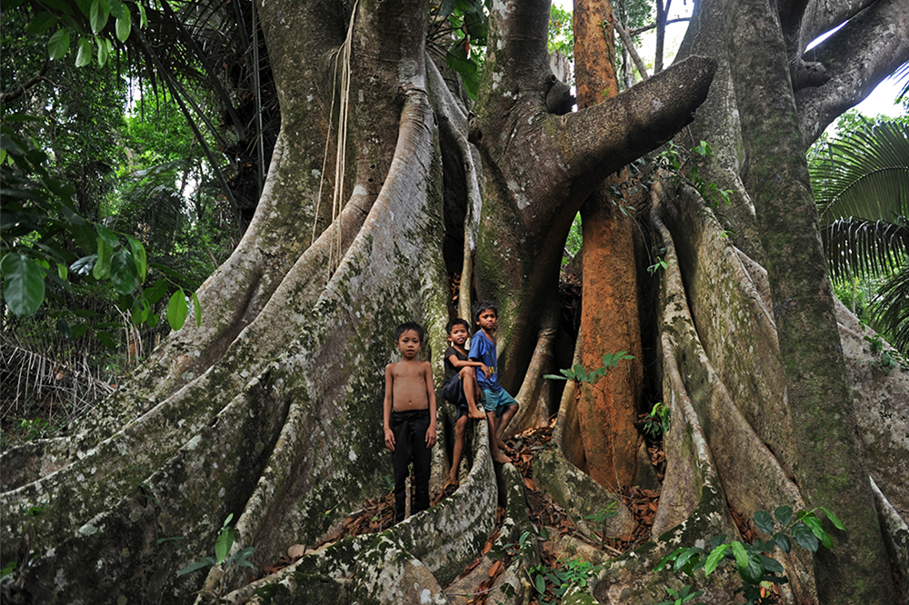
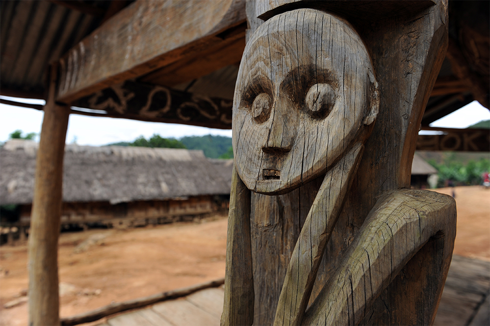
Upper Xekong is located in southern Laos, in an Annamese cordillera occidental meander constituted of rugged landscapes, long southward oriented mountain ridges, profound valleys, impetuous rivers, uninhabitable forests and mythical groves. One of the last remaining virgin zones of the Indochinese Peninsular, Upper Xekong is a lost paradise where several southern Proto-Indochinese clans, most of whom are from the “Katouic” linguistic group (as are the Katu, Bru, Alak, Talieng, Harak, Nye, Dakkang), the other language group is the “Bahnaric” (as with Triang, Jru, Heuny, Harak, Ta Oy, Jru, Dak and the Lavi). These populations usually live at a distance from the modern world, in mountainous districts, glades, jungle copses, or small villages along a water source. They practice slash-and-burn cultivation, animism, shamanism, hoax sacrifices, and they nurture a close spiritual connection with the jungle, which they consider a “house of genies”.
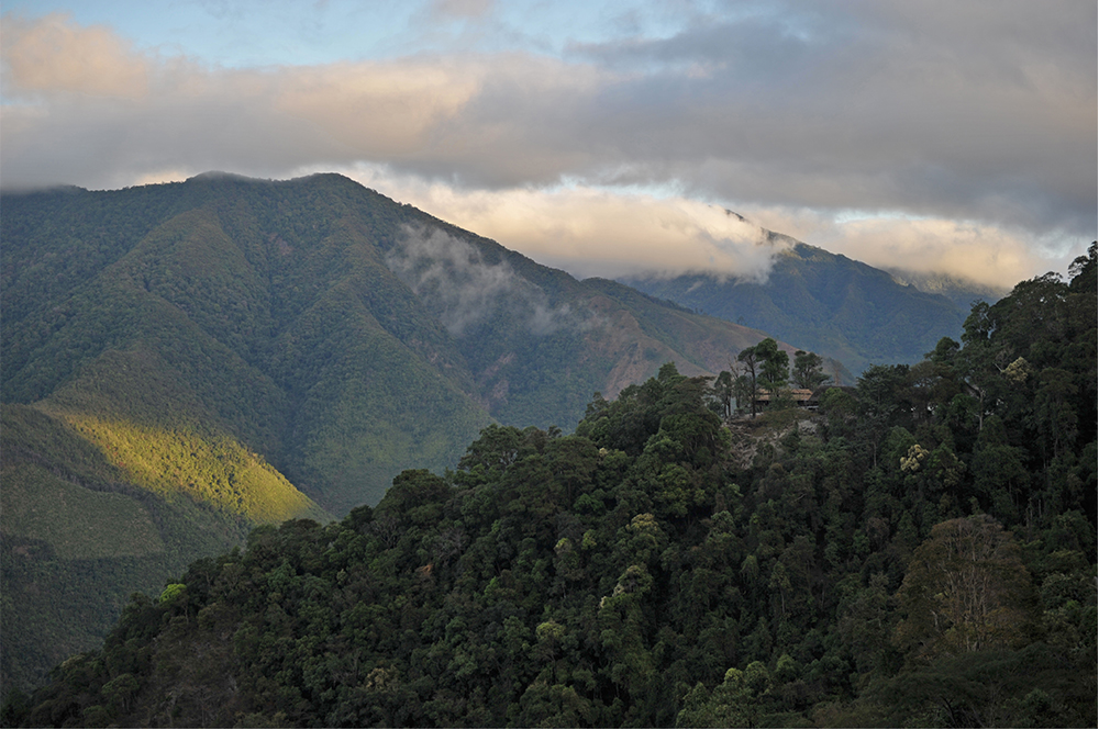
The Katu villages are located south of the Xe Xap national park. Boasting a broad, rolling massif with summits at an average of 3500 ft and covered by vast jungle, the XeXap is a natural sanctuary. The undergrowth is refuge to over forty mammal species of interest including tigers, wild elephants, gaurs, muntjacs, bears and endemic species including the bearded langur monkeys. There are also more than a hundred bird species and fifty reptile and amphibian species, among which is the molurus python.
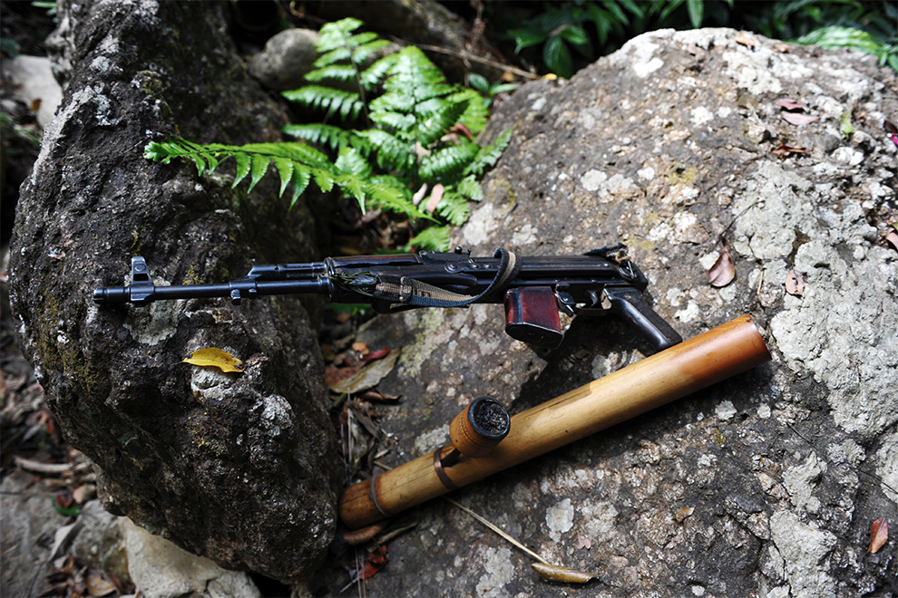
During colonial times, Upper Xekong was unknown, unexplored, closed, feared, considered a land of rebels and blood hunters. The region was subdued by the French only in 1938, which lasted for just one year before a fierce armed revolt ensued. During the Indochinese War, it became a Viet Minh sanctuary; during the Vietnam War, the North Vietnamese army established military bases in the region and cut branches of the “Ho Chi Minh Trail”. Thus, the area was heavily bombed by the USAF.
From late 19th century until 1938, various French exploration missions failed to survey and control Upper Xekong, thus the river became something of a myth: an Indochinese Heart of Darkness. During the Vietnam War, this wild land was transformed into a North Vietnamese Army maquis which was massively bombed, then re-fell into oblivion.
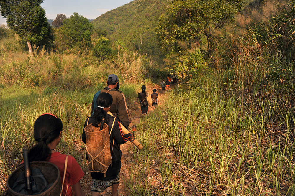
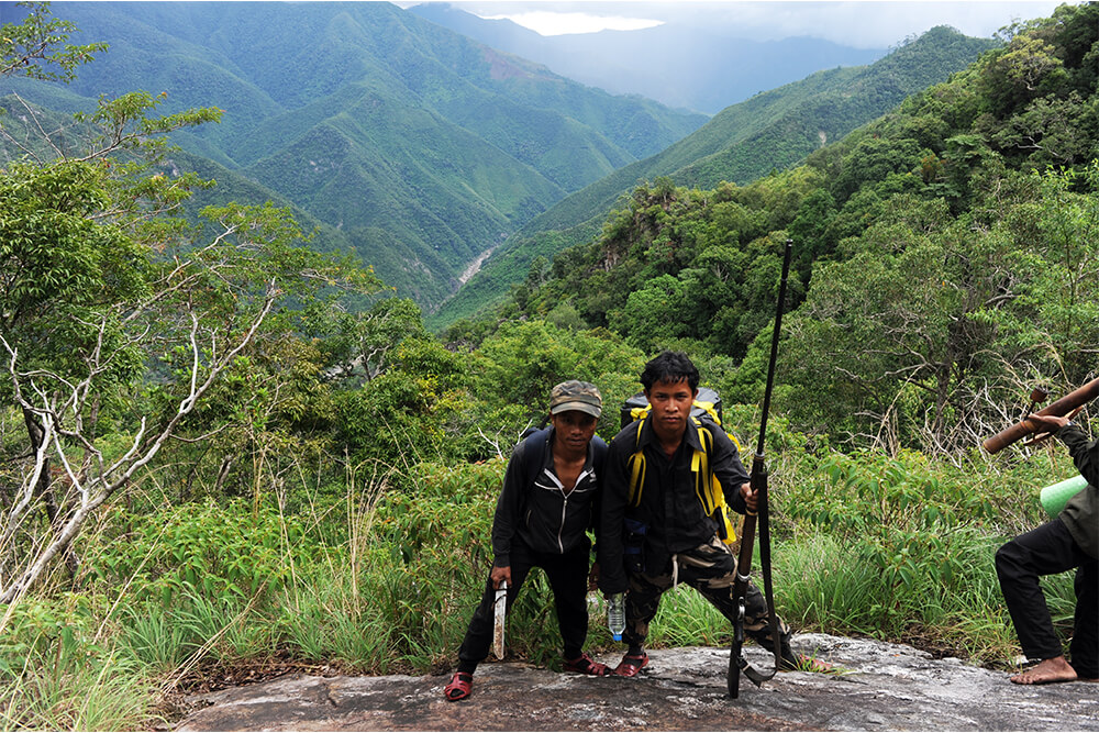
From 2011, Secret Indochina’s production department has led various surveys in the heart of Upper Xekong, consequently created special ethnographic and adventure programs to the Katu land.
The Haut Sékong trek leads through the ephemeral world of Upper Xekong, an adventure across a wild land that forms a natural barrier to the uncertain influences of the world beyond, an unseen small Laotian Amazonia. The journey is a chance to immerse in the lost paradise of the southern Proto-Indochinese clan Katu, who practice slash-and-burn cultivation, animism, shamanism, and buffalo sacrifices while nurturing a close spiritual connection with the jungle, which they call the “house of genies”.