Phou Pha Thi - Nam Et area
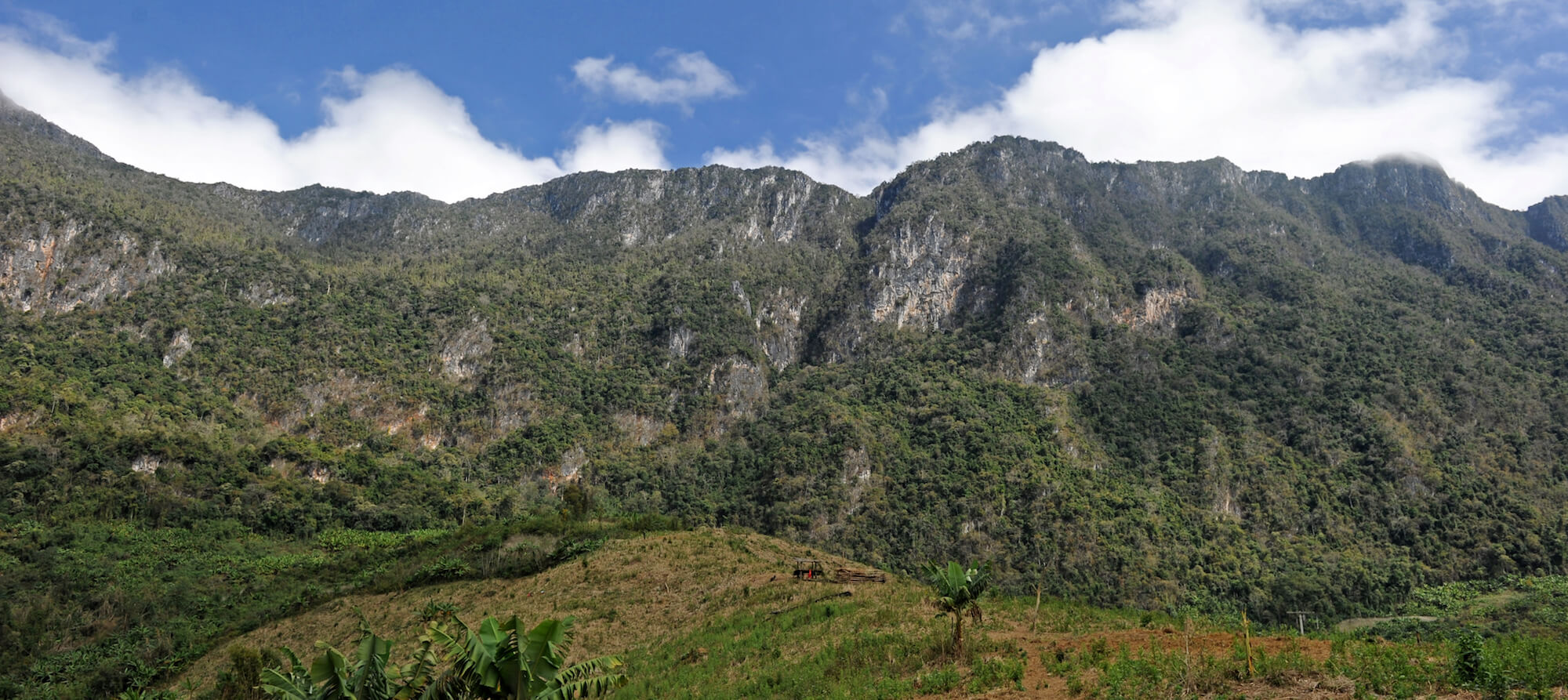
The mythical Phu Pha Thi mountain, also known as Lima Site 85 or The Rock. Located in the Houaphanh Province of northeastern Laos, Phu Pha Thi reaches a height of 1,786 meters, appearing as a giant monolith extending from the heart of the Nam Et massif.
-1578366373.jpg)
Phu Pha Thi mountain
Oriented on a north-southeastern axis and eight kilometers long, the mountain is a limestone fortress bordered by high cliffs to the north and east, dense forests with tigers and panthers to the west, and the Nam Et National Park to the south. In ancient times, Phu Pha Thi was a holy place for the ethnic Khmu, Hmong, and Dao peoples, who believed the mountain was inhabited by spirits known as Phis. With its strange shape and religious connections, Phu Pha Thi resembles the infamous Cathar fortress of Montsegur in southwestern France.
-1578366300.jpg)
Phu Pha Thi mountain
During the Secret War in Laos, the Central Intelligence Agency used Phu Pha Thi as a top-secret base, transforming it into an impregnable fortress overlooking the Sam Neua region, which was controlled by the Pathet Lao and the North Vietnamese Army (NVA). In August 1966, the US Air Force built a Tactical Air Navigation (TACAN) station on the mountain to support the escalating air war in the northern regions of Vietnam and Laos. Because international agreements restricted the US from openly conducting military operations in Laos, the secret war was primarily driven by the CIA.
In 1967, a Combat Skyspot ground-directed bombing system (AN/TSQ-81) was added. Dubbed Operation Commando Club, the system provided radar information and assistance to USAF bombing runs in northern Laos, North Vietnam, and the Hanoi area, as well as to Operations Rolling Thunder and Barrel Roll (the bombing of the Ho chi Minh Trail).
Phu Pha Thi
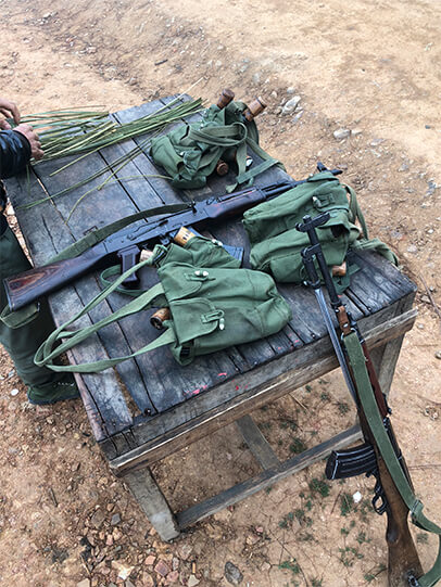
Phu Pha Thi was defended by 800 Hmongs from the Hmong Secret Army and by 300 Thai mercenaries. Nonetheless, in January 1968 the North Vietnamese – angered by the presence of a U.S base in a Communist-controlled territory – launched an initial aerial attack on the mountain with two Antonov An-2 aircrafts. When the aerial attack failed, the NVA sent ground troops to surround the sacred mountain. The battle for Phu Pha Thi raged until March 10, when a unit of North Vietnamese special forces and Red Hmongs managed to scale the cliffs. The U.S base fell on March 11, 1968 and was destroyed by aerial sorties over a period of two months.

First attack ©Keith Woodcock "An Air Combat First"
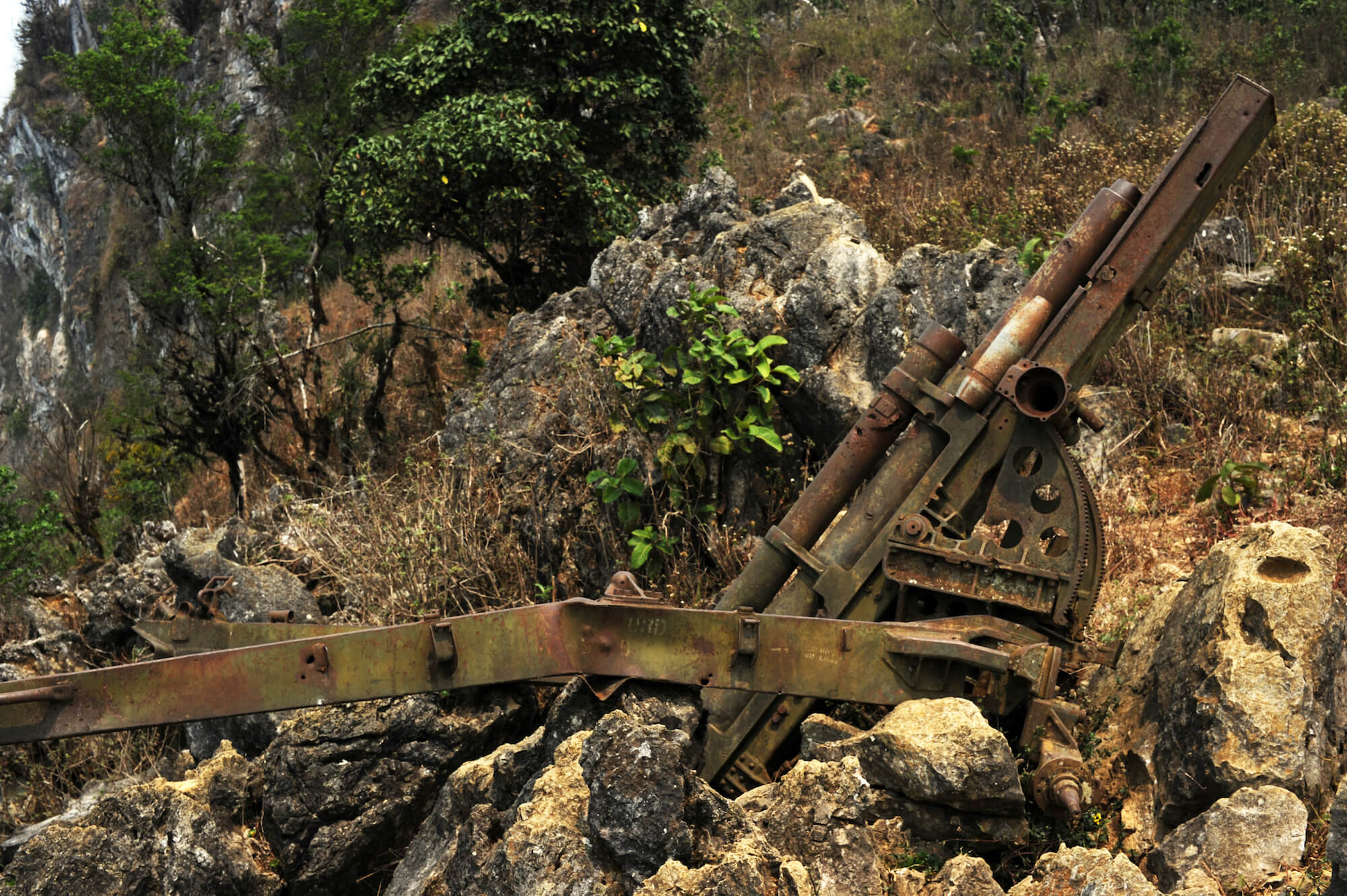
88mm cannon
On the American side, Lima Site 85 was classified until 1983. The government of Laos forbade access to the highly clandestine site until 2018, when it is scheduled to be reopened. Secret Indochina production department has studied the area for more than two decades, organizing a pre-survey in 2013 and a survey of the top and western slope of the legendary mountain in 2018. The summit and base are now accessible by 1,000 stairs from an ancient southern outpost, and there is potential to organize hiking on the western and eastern sides of the mountain along the Nam Et river.
-1578388456.jpg)
Phu Pha Thi west face
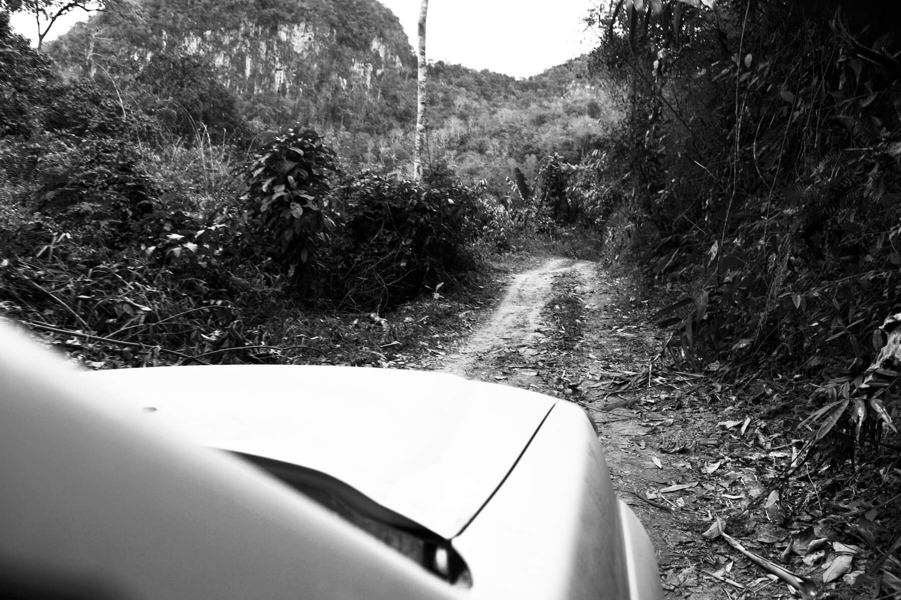
Old road to Phu Pha Thi