The depth of Cardamom Mountains
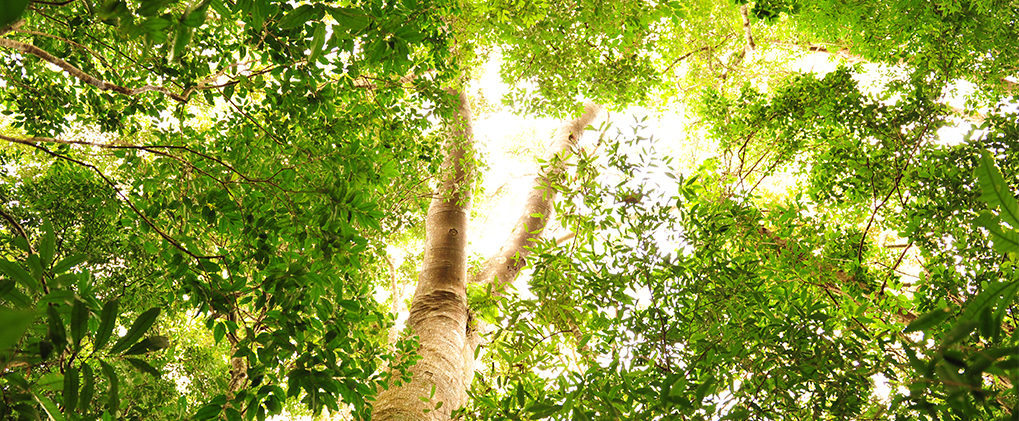
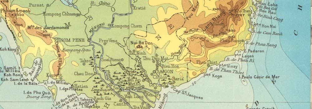
Phnom Samkor are granite formations which cover a large portion of southwestern Cambodia, creating a natural barrier that isolates the hinterland from the sea. They are part of the Krâvanh Mountains, literally the Cardamom Mountains, dominated by Mount Aural, at 1,813 meters in the east. It is covered with impenetrable equatorial forests, which comprises of two or three layers of forest covering mostly the watery hillsides.
The summit, Mount Samkok (1717m), is the second highest point of the country. Its north face is a set of steep ridges and peaks while the southern part consists of long lines of forest ridges stretching towards the Gulf of Siam. Between these ridges flow the two important branches, the Stueng Touch and the Stueng Ruessel Chrum. The area is one of the largest wilderness in mainland Southeast Asia and home to a remarkable number of endangered species, including rare elephants, tigers and Malaysian bears in its deepest parts.
Trek across this untouched wildlife sanctuary, which remained inaccessible during years of conflict in Cambodia and became one of the last strongholds of the Khmer Rouge after they lost power in 1979. Follow trails that snake through the rugged terrain covered with dense equatorial rainforest and upper montane forest. Finally, walk along high elevation marshes and streams bordered by ancient majestic trees on the way to your pristine island escape in the Gulf of Siam.